Le triangle des stériles
 Droits réservés
About the activity
Distance
16.7 km
Transportation mode
Pedestrian
Difficulty
Easy
Elevation
53m
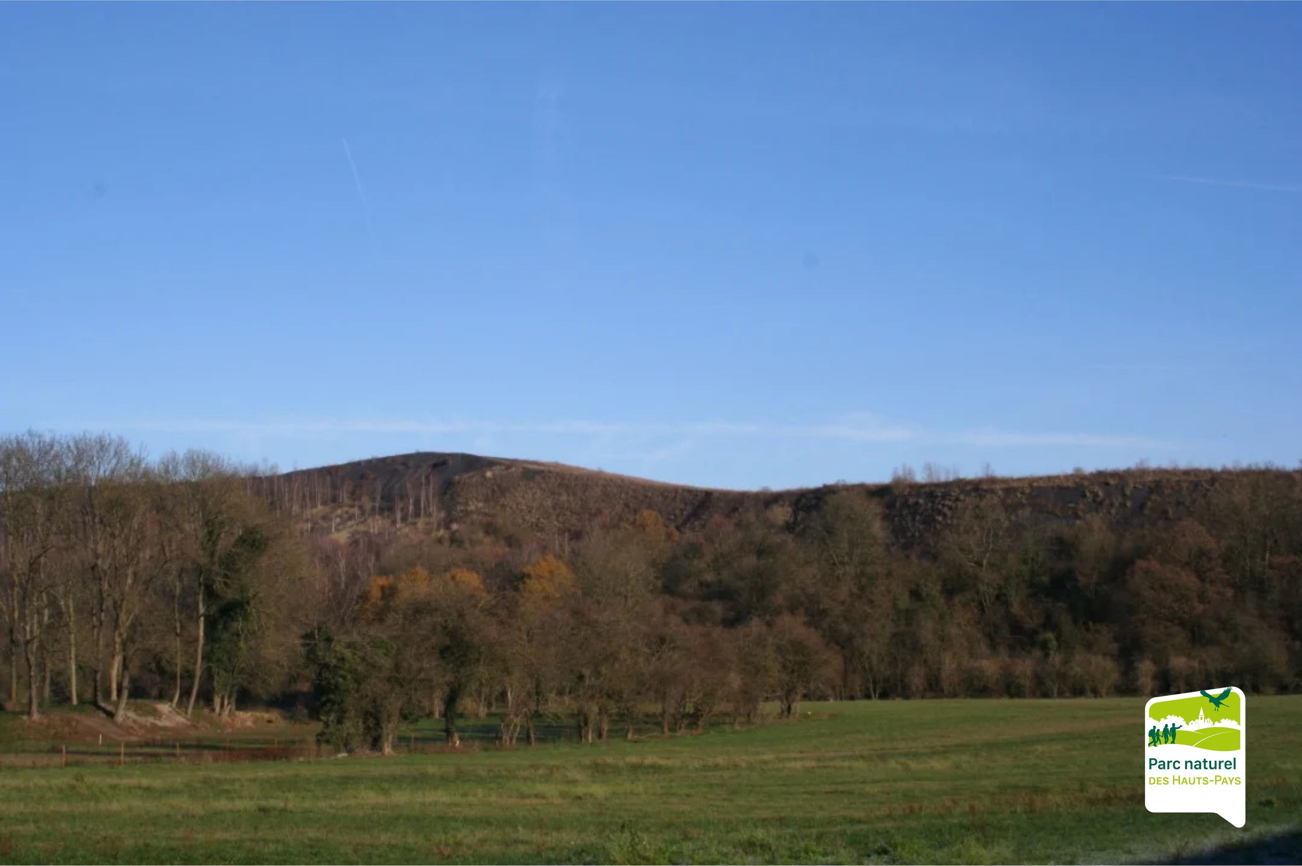
The spoil heaps of the Borinage: witnesses to a rich industrial past
The spoil heaps of Dour, such as Frédéric, Saint-Charles and Sauwartan, are striking reminders of the intensive coal mining that shaped the region for several centuries. These artificial hills, formed by the accumulation of mining waste (shale, sandstone and rock residues), now display a wide range of shapes and an unexpected geological and ecological richness.
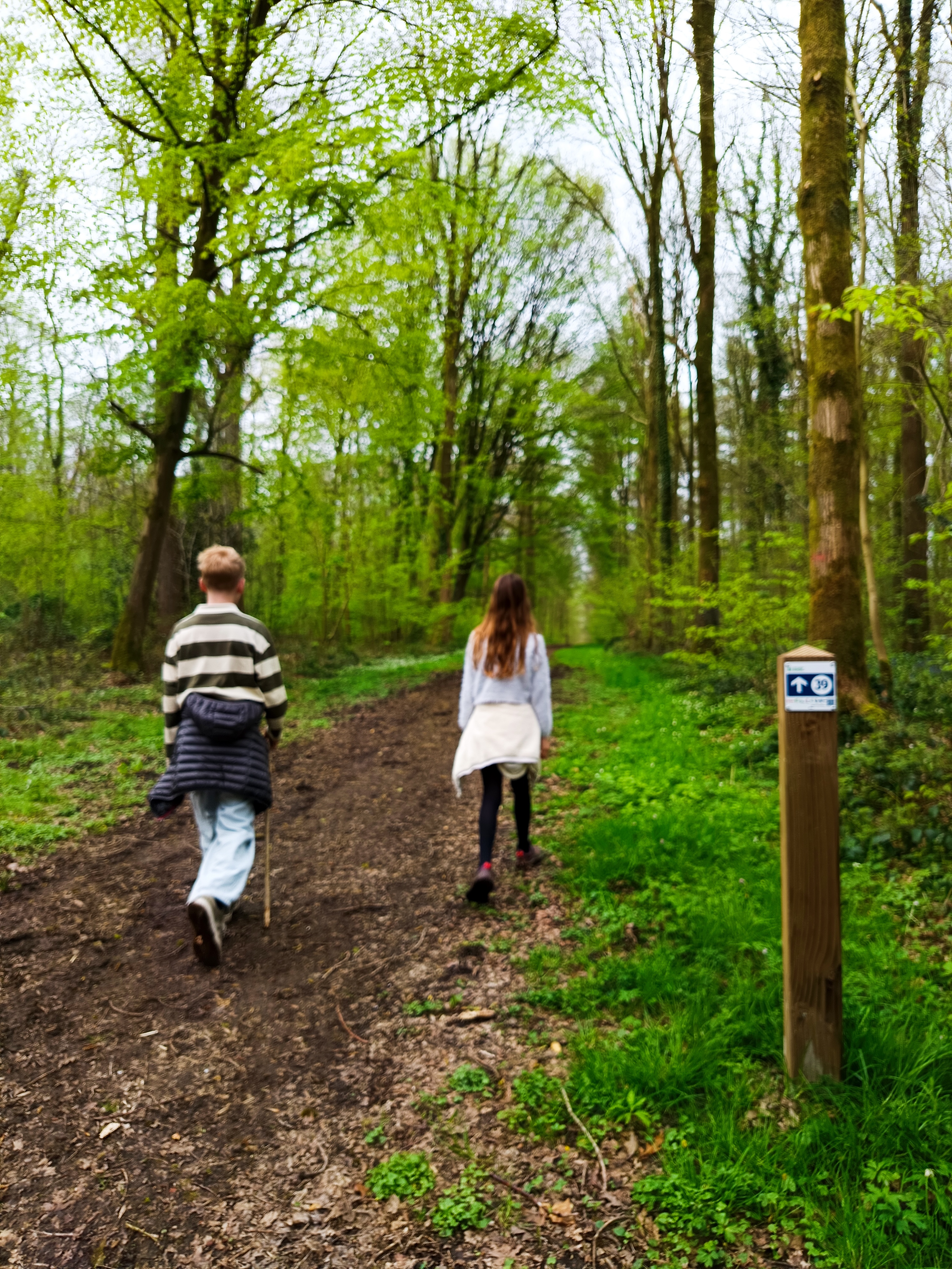
Between streets, alleyways and valleys: stepping into Dour’s history
This walking route takes you through many streets and alleyways of Dour, revealing along the way the treasures of local heritage: the Mollet mill, the Marou fountain, the former Dour railway station… Each of these places, rich in memories, tells the story of past rural and working-class life.
A nature escape in the Hanneton bocage valley
The walk also leads you through the bocage valley of the Hanneton, a true green retreat. Here, you will discover a well-preserved local fauna and flora, among hedgerows, wet meadows and birdsong.
Junctions to follow:
21 > 28 > 31 > 31 > 33 > 29 > 22 > 22 > 35 > 34 > 96 > 76 > 32 > 13 > 12 > 51 > 52 > 54 > 55 > 21
General Information
Contact Information
Address
1 Rue Moranfayt,7370 Dour
Documentation
GPX / KML files allow you to export the route of your hike to your GPS (or other navigation tool)
Interactive route map
View the route trace, elevation profile and download the route for your GPS.