Hensies & Quiévrain: in wetlands
 Utopix_Hyacinthe
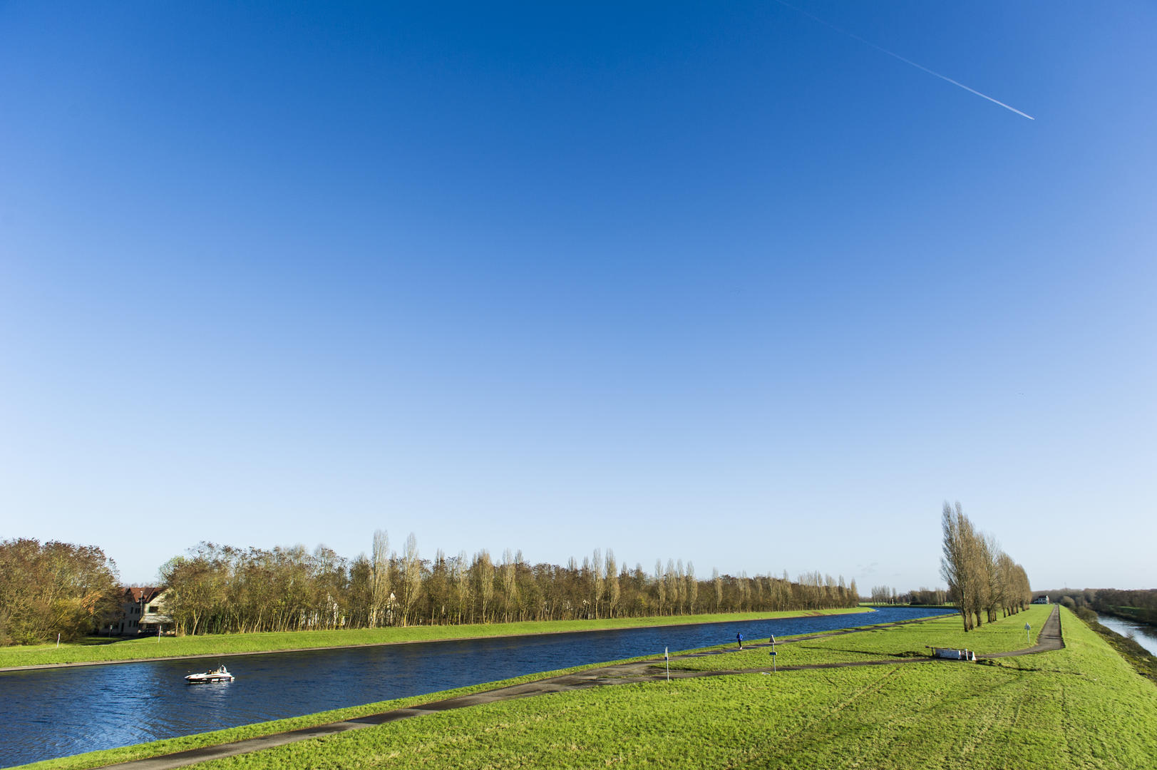 visitMons_GrégoryMathelot
About the activity
Distance
26 km
Elevation
54m
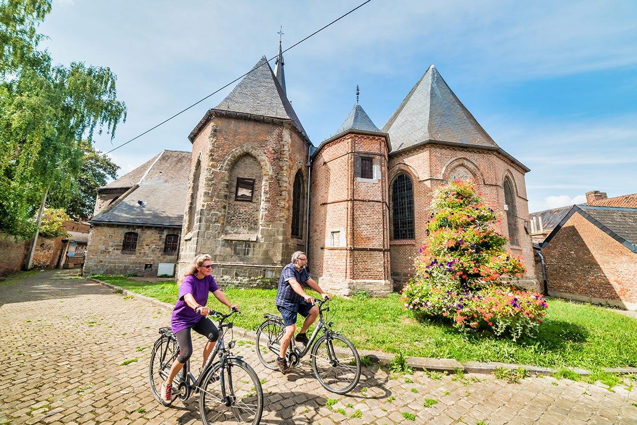
Hensies is bathed in the softness of spring. The first few kilometers on the light-flooded road are an opportunity to stretch your legs, as the route is not very difficult. On the Quiévrain plain, paths and small roads wind their way between wetlands. On the map, the small roads here weave an immense spider's web: land consolidation has facilitated access to the fields and created these asphalted roads, ideal for touring bikes! The marshes near Harchies have left many wetlands in the landscape. The road is rural, pleasant and free of traffic as we approach the urbanized area of Boussu. Splendor and influence characterize its castle, built in the time of Charles V. From the town center, the RAVeL passes through the past with the old Dour collieries and into the future, skirting a wind farm. In less than a century, fossil fuels will have been supplanted by wind power...
Nodes to follow
69 > 71 > 65 > 11 > 11 > 11 > 91 > 84 > 21 > 64 > 61 > 69 > 80 > 77 > 96 > 69
General Information
Contact Information
Address
Avenue de l'Europe,7350 Hensies
Documentation
GPX / KML files allow you to export the route of your hike to your GPS (or other navigation tool)
Interactive route map
View the route trace, elevation profile and download the route for your GPS.