A walk between nature, villages and heritage
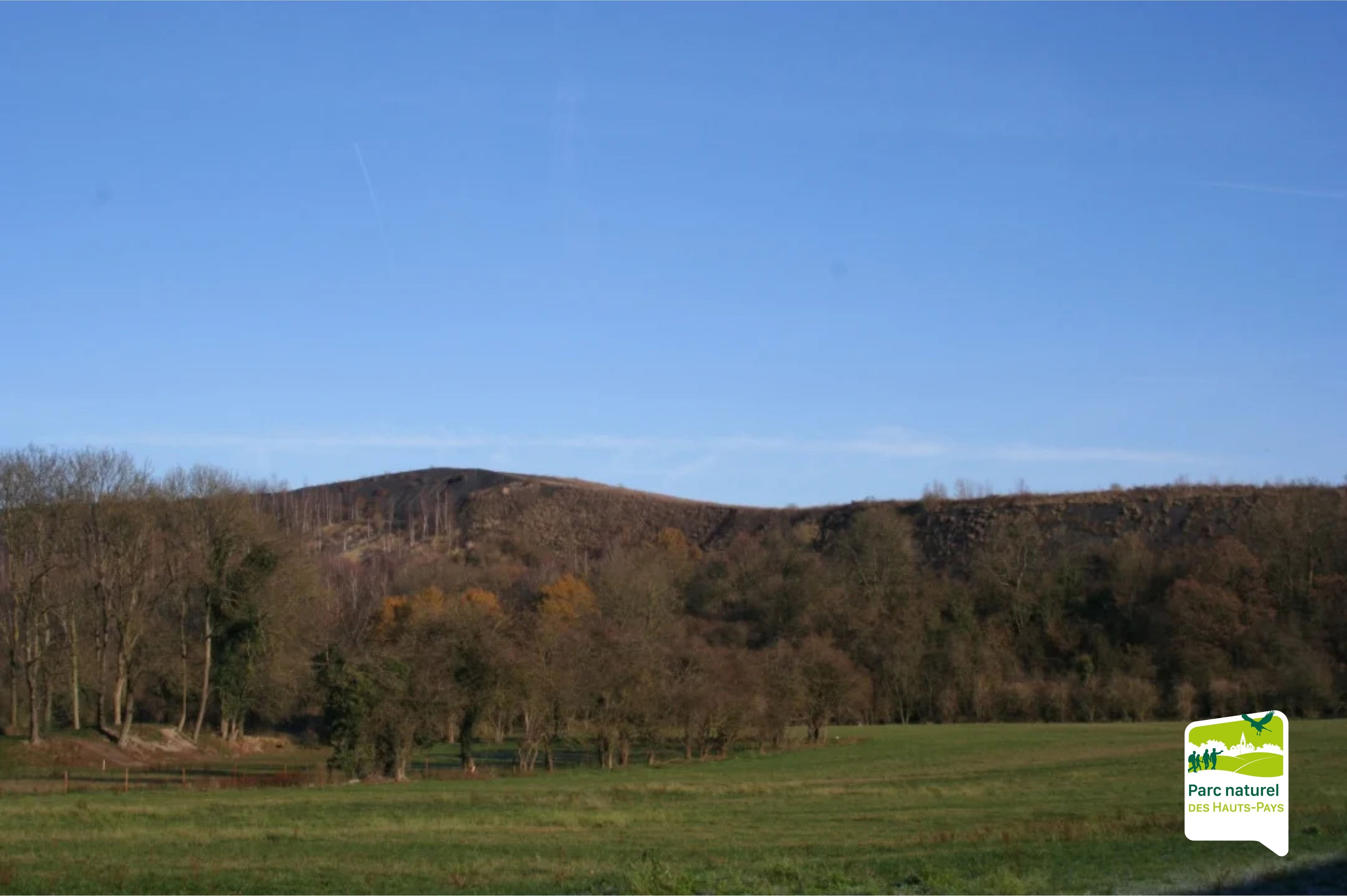
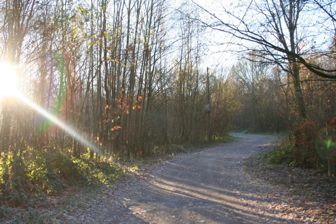
This route crosses the picturesque villages of Blaugies and Petit-Dour, rich in rural and natural heritage. Along the way, you will discover the Bois de Blaugies and the Bois de la Tassonière, two wooded areas that are perfect for a refreshing break during your walk.
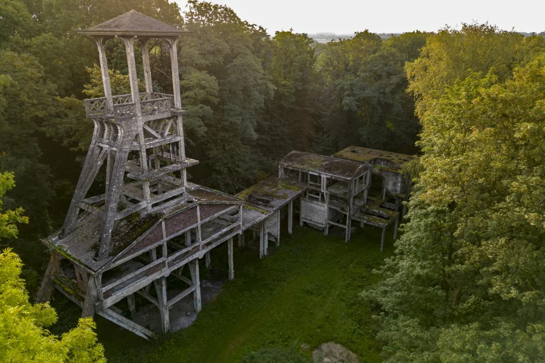
- In Petit-Dour, a gently rolling village, you will come across the remains of the Moulineau watermill, dating back to the 15th century and once powered by a wheel driven by the Elwasmes stream. This watercourse still marks the natural border between Petit-Dour and Blaugies.
- Blaugies offers a traditional agricultural landscape, dotted with old farms and rural houses from the 18th and 19th centuries. The Fonteni and Hardré streams wind their way through characteristic hamlets such as Trieu Jean Sart and the Coron de Blaugies.
A strong cultural and religious heritage
The village of Blaugies also stands out for its rich religious heritage, with numerous chapels, charming green squares, and emblematic spots such as the Place du Joncquois and the romantic “Lovers’ Path”.
Source: Triptych “Circuit des 3 ruisseaux”, produced by the Municipality of Dour, the Social Cohesion Plan, the Hauts-Pays Natural Park, DGO3, the Walloon Region and the SPW.
Nodes to follow:
40 > 27 > 25 > 29 > 22 > 22 > 35 > 24 > 23 > 26 > 1 > 37 > 49 > 87 > 48 > 82 > 84 > 86 > 31 > 31> 40